
We Plan to Float, and Float the Plan.
I have to admit, for me, “floating” implies the least active of all water activities. It’s kind of the bare minimum, especially if you’re on a boat. Floating is job one for a boat, and it is a pass/fail exercise.
But for purposes of this discussion, a “float plan” is actually a technical term. It’s the U.S. Coast Guard’s term for a standardized information sheet that mariners can use to document their plans. The template, in PDF form, is available on several sites, including the official uscg.mil site: https://www.dco.uscg.mil/Portals/9/CG-5R/SARfactsInfo/USCGFloatPlan%5B1%5D.pdf
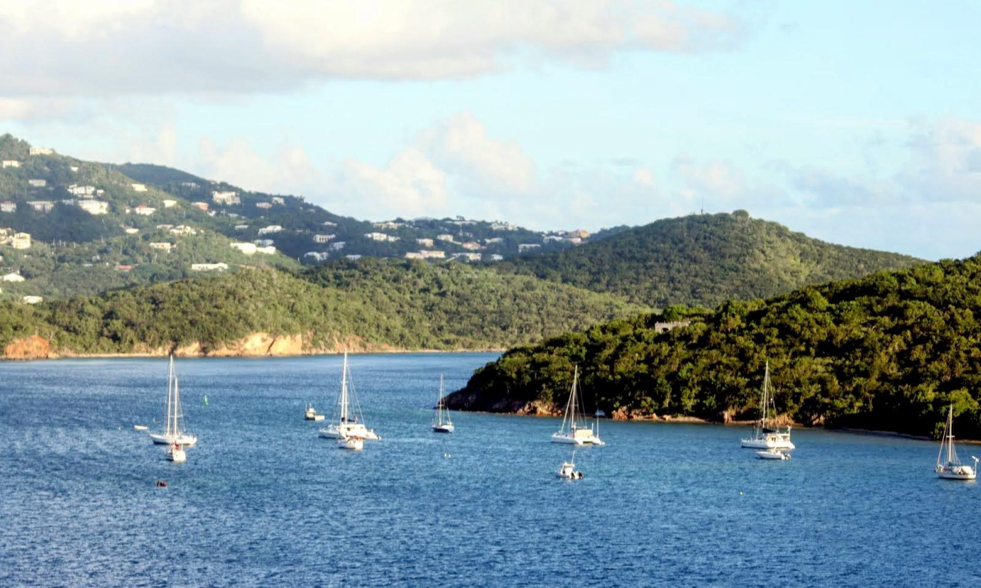
Before longer trips, like our Lake Michigan crossings, we complete this document and send it to our loved ones. Note: We do NOT file the float plan with the USCG; this is not like an FAA flight plan. Instead, a float plan serves several important purposes:
The Core Purpose: Emergency Preparedness
At the most basic, a float plan captures all the relevant information that the Coast Guard or other SAR (Search and Rescue) teams would need to know in an emergency. It lays out the most fundamental who, what, where, and when facts so that if something goes awry, the helpers are best equipped to do their jobs.
For Family and Loved Ones
It’s also incredibly useful for family and loved ones. The recommended way to use it is to share it with someone who can pass that information to authorities if you’re late. But even if that call never needs to be made, it’s thoughtful to let people who care know your plan. Don’t make folks wonder where you are; let them know! Who will know you are late or missing if they never knew when you planned to arrive?
For longer trips, we prepare a float plan using the PDF template and share it, usually with our son who lives nearest us and my mom. A lot can happen on a trip like this, so we make it clear that being 10 minutes behind schedule is not a reason to call the helicopter. But if it’s well after dark, when we planned to arrive at 5, and you haven’t heard from us and can’t raise us on cell—the float plan makes it clear who they should contact if they’re worried. The flow chart on the back takes the guesswork out of it.
A Critical Pre-Trip Exercise
Perhaps most important, completing a float plan is a useful exercise in preparing for your trip. In the process of setting forth your game plan—where you’re headed, when you expect to arrive—it forces you to reality-check your plan. For instance, if I’m planning to leave by noon for a 35nm trip, and we can’t average 5 knots, it will be after 7 PM when we arrive. What time is sunset? What if we average only 4 knots?
It also serves as a crucial safety check. I have to check the boxes: Do I have flares for night? Do we have a horn? How many PFDs (Personal Flotation Devices) do we have on board? Do I have a radio? In a previous post, I mentioned the DSC-enabled radio we carry; by including its MMSI on the form, in an emergency, we can be reached by a direct radio call. Two of the questions that are more introspection than interrogation ask: Does the captain have experience with this boat? With the local area? It’s a time to pause and consider: What have we forgotten?

Beyond the Float Plan: Additional Pre-Trip Diligence
While not required, another part of our planning is, of course, checking the charts for the areas we will travel through, but also the “Light List” and “Notice to Mariners.”
The Light List (https://www.navcen.uscg.gov/light-list-annual-publication) provides up-to-date information on all the navigational aids that are represented on the charts. Fun fact: On the center of the span of the Mackinac Bridge sits signal #12640, the Mackinac Bridge Fog Signal, which blows 2 horn blasts every 20 seconds. Do you think any of the motorists speeding by ever notice it?
The final step in our pre-trip diligence is checking the Notice to Mariners (https://www.dco.uscg.mil/Featured-Content/Mariners/Local-Notice-to-Mariners-LNMs/District-11/). This gives all sorts of updates about things that might affect our trip. For example, the section for New Buffalo, Michigan, says the following:
General/Marine Construction (Excluding Bridges)/Dredging From: 2025-06-01 To: 2025-06-20
Dredging New Buffalo Harbors Federal channel. Submerged pipe laying on the lake floor marked by orange round buoys every 500 feet. (2) white buoys will be seen North and South of the dredge. The white buoys indicate winch anchor locations. The disposal area starts South of the South breakwater 1,500’ and goes 1,500’ southward. Placement will be between the beach to the 8’ contour. Main contact will be the Superintendent Robert Lister. Cell# listed below. During rough seas our pipe pontoon will be floating outside of the channel. It is bright yellow, 25’x8’x6’ and has (2) flashing amber lights on each end that come on at night. Another pipe pontoon that is bright yellow (25’x8’x6’) and has (2) flashing lights on each end will be in the disposal area. The disposal area will be marked with white ball buoys on each corner. TELEPHONE #: 616-399-1784 (The King Co. Main Office) Superintendent Cell #: 989-464-1511
We sort of learned about this the hard way: after our (minor) grounding last year in New Buffalo, I looked up the NOTM, and it said very clearly, “Be careful of silting near the red entrance marker to the harbor.” All just part of our tuition at the school of hard knocks!
~Kent
Discover more from SAIL & SAVOR BLOG
Subscribe to get the latest posts sent to your email.
